Thursday, May 14, 2009
Travel Namche barwa Peak Gallery
Namcha Barwa was first accurately located in 1912 by British surveyors. The area saw little activity by outsiders between 1913 and the 1980s. In the 1980s, several Chinese teams made serious efforts on the peak, and scouted multiple routes, but did not succeed in reaching the summit.
In 1990 a joint Japanese-Chinese expedition reconnoitered the peak,and another joint expedition made an attempt in 1991, which reached 7460m but resulted in the death of one member, Hiroshi Onishi, in an avalanche. The following year, a third Japanese-Chinese expedition succeeded in reaching the summit. They established Base Camp on September 14, and reached the summit on October 30, after placing six camps. Their route followed the South Ridge, over the intermediate Naipun Peak. Eleven members of the expedition reached the summit, all but the expedition co-leader, Tsuneo Shigehiro.
The Himalayan Index lists no other ascents of this peak.By : Wikipedia.com
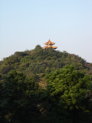
Baiyun Mountain travel Gallery

Baiyun Mountain belongs to the first provincial scenic spots approved by Guangdong Provincial Government. ‘Cloud appears everywhere on famous mountains, but here (the) White Cloud monopolizes the beauty of spring’ best portrays the Baiyun Mountain scenic spot. Baiyun Mountain was already a famous scenic spot in Guangzhou in history. One can view the whole city proper from the height of the mountain. Renowned poets and scholars of past dynasties, such as Sushi, Yang Wanli, Wang Shizhen and others once came here and left poems and words after the visit. Baiyun Mountain is a bit rectangular, measuring 7 km from south to north, and 4 km from east to west, aged around 400 million years, one of the oldest mountains in Guangdong. It has gorgeous scenery and abundant historical relics. Among the past and present Eight Sights of Guangzhou, besides ‘Wind Soughing in the Pines on Baiyun Mountain’, there are ‘Pujian Spring’, ‘Looking afar in the evening from Baiyun Mountain’, ‘The Returned Monk at Jingtai’, ‘the Splendid Mountain of Cloud’, etc., which depict all the beautiful scenery of Baiyun Mountain.
By : Wikipedia.com
By : Wikipedia.com
Wednesday, May 13, 2009
Yaluzangbu Grand Canyon
The vice director of Tibet Tourism Bureau Mr. Wang revealed that, Tibet will recommend more winter tour products from October 20th, the average price will decrease 50% than summer.
Mr. Wang said that Tibet will adjust Airline, travel agencies and hotels’ price in winter, and recommend a series of discount tour products, which include transportation, accommodation and travel, especially, the air tickets will be 50% discount. Tibet and Nyingchi travel routes will be the key lines in this winter. And tourists can visit Yaluzangbu Grand Canyon, the beautiful Mount Namjagbarwa and Nanyi Ditch that Luoba Minority lived.
Grand Canyon Airlines
Grand Canyon Airlines is an airline headquartered in the Grand Canyon area in unincorporated Coconino County, Arizona, United States. It operates sightseeing tours over the Grand Canyon. Its headquarters and main operation center is Grand Canyon National Park Airport.
It is owned by Elling Halvorson and John Seibold and has 70 employees (at March 2007).Grand Canyon Airlines introduced commercial airline service to Boulder City Airport on June 15 1936.
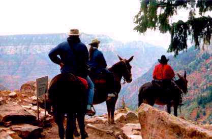
Grand Canyon Travel
This article is about the canyon in the southwestern United States. For other Grand Canyons, see Grand Canyon (disambiguation).
The Grand Canyon is a steep-sided gorge carved by the Colorado River in the United States in the state of Arizona. It is largely contained within the Grand Canyon National Park — one of the first national parks in the United States. President Theodore Roosevelt was a major proponent of preservation of the Grand Canyon area, and visited it on numerous occasions to hunt and enjoy the scenery.
Longstanding scientific consensus has been that the canyon was created by the Colorado River over a six million year period. The canyon is 277 miles (446 km) long, ranges in width from 4 to 18 miles (6.4 to 29 km) and attains a depth of over a mile (1.83 km) (6000 feet). Nearly two billion years of the Earth's geological history have been exposed as the Colorado River and its tributaries cut their channels through layer after layer of rock while the Colorado Plateau was uplifted. The "canyon began in the west, followed by another that formed in the east. Eventually, the two broke through and met as a single majestic rent in the earth some six million years ago. [...] The merger apparently occurred where the river today bends to the west, in the area known as the Kaibab Arch."
Before European immigration, the area was inhabited by Native Americans who built settlements within the canyon and its many caves. The Pueblo people considered the Grand Canyon ("Ongtupqa" in Hopi language) a holy site and made pilgrimages to it.[citation needed] The first European known to have viewed the Grand Canyon was García López de Cárdenas from Spain, who arrived in 1540.[3] In 1869, Major John Wesley Powell, a one-armed Civil War veteran, made the first recorded journey through the canyon on the Colorado River. Powell referred to the sedimentary rock units exposed in the canyon as "leaves in a great story book.
By : Wikipedia.com
By : Wikipedia.com
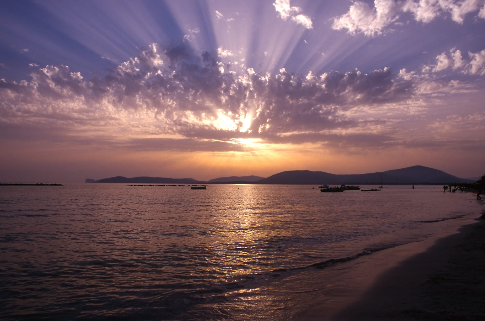
Sardinia Beaches Pictures Italy
Subscribe to:
Posts (Atom)